Let's do a Moderate Hike to
San Gabriel Peak!
Distance: 8 miles | Elevation gain: 1422 ft
June 19 - Wednesday 9:00 AM
There has been interest in weekday hikes (OCLB/LA), so this summer we will sponsor a few to those who have a free Wednesday! We did this hike a few weeks ago, but thought a repeat would be nice for those who weren't able to attend at that time.
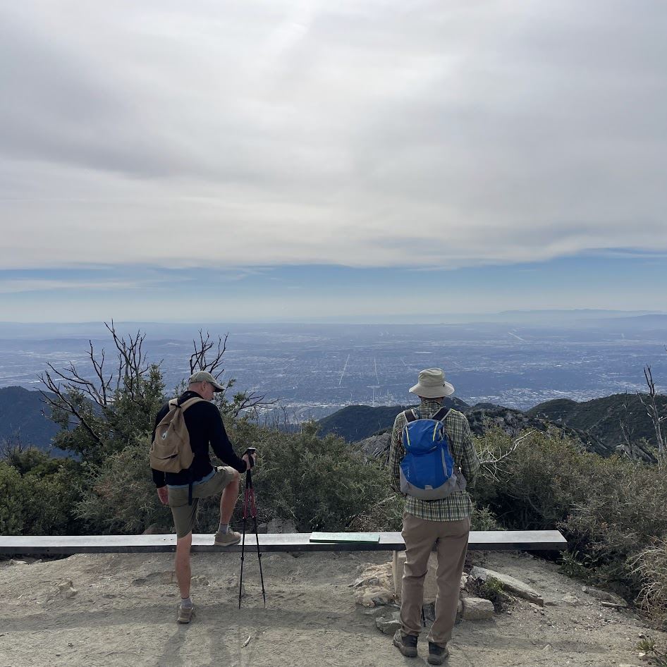
Join us on Wednesday June 19 at 9:00 am for a moderate hike.
HIKE RATING
Just to give you an idea how I rate hikes, here is my scale:
- Easy: Mostly flat, some slight gentle elevation gain.
- Moderate: Some elevation gain. Easy trail and fire roads. Not too steep for the most part.
- Moderate/Advance: Moderate elevation gain. Easy trail. Steep in parts. Some shade.
- Advanced: A lot of elevation gain across short distances. Some shade. A lot of sun.
- Advanced/Challenging: Hikes over 8 miles with challenging trails with a lot of elevation gain. Not much shade -- a lot of sun.
Hiking to the the San Gabriel Peak is a Moderate/Advanced Hike. Although the trail is almost entirely uphill, it is well defined and easy to traverse. It is mostly all switchbacks until we meet up to a fire road (Mt. Disappointment Rd.) that will lead us to another trail head that will take us to the summit. In all, it is a 1,422 foot elevation gain.

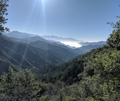
There are plenty of spaces to stop along the way for periods of rests. Luckily, the majority of the trail is very shady to help stay cool. There are steep portions, but you'll be rewarded with amazing views as we traverse the north-east facing mountain looking upon the stretch of the San Gabriel mountain range.

So, Where Do We Begin?
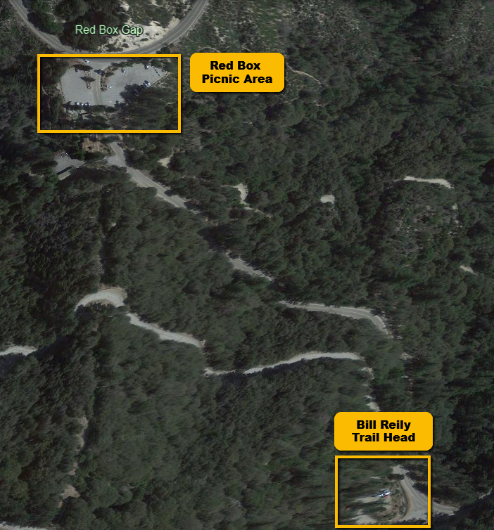
The first marker is the RED BOX Parking area just off the highway on your right. Red Box is the name of the junction where the Angeles Crest Highway meets the Mt. Wilson-Red Box Road, and the Rincon-Red Box Road.
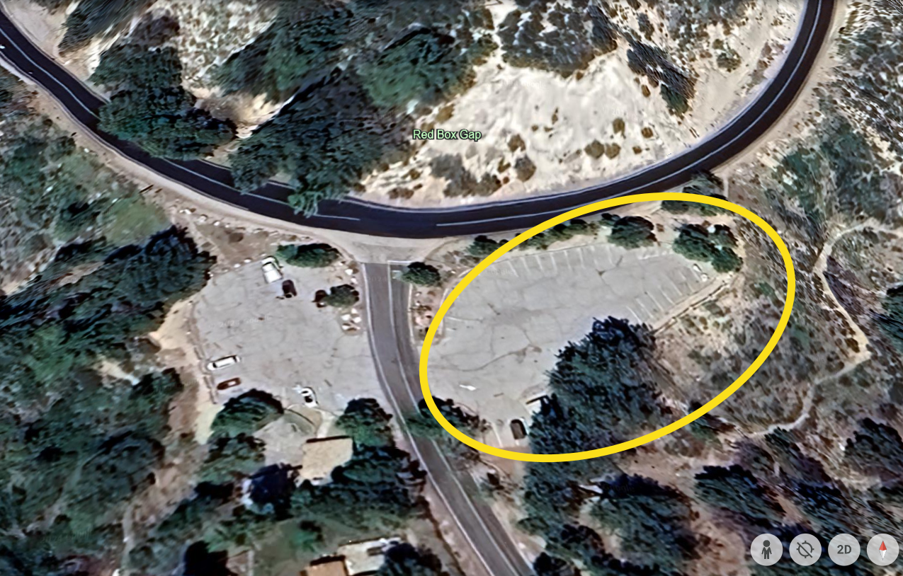
Then head to the Bill Reily Trail Head, which is just 1/4 mile away down the road. We will be starting at 4,743 ft. above sea level.
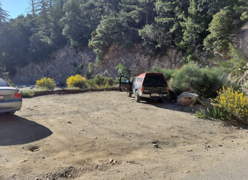
Parking is limited, but there appears to be room to stack cars behind other hikers that are in our same group. This being a weekday, there should not be any issues with availability of parking.
THE HIKE
We will be following a well-shaded trail through an oak forest. During the Fall of 2023, there was an inordinate amount of acorns. There were so many littering the trail, that it made it a bit more challenging to walk.
Please bring walking sticks to help traverse the maze of acorns :-).
The forest trail will take us up to Mount Disappointment Fire Road. We will have gained 949 feet when we meet the road at 5,692 ft. From here we will turn left onto the fire road and continue for about 0.2 miles where we will catch our second trail head that will take us to the summit San Gabriel Peak -- another 472 feet of elevation that will take us to 6,164 ft.
On our way to this trailhead, we will be passing the foundation of an old Nike missile site and a clear view of the Mt. Disappointment electronic site.
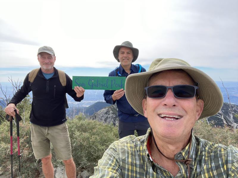
Once we reach the summit, you will be rewarded with a spectacular view of Mount Baldy as well as also looking upon the Mount Wilson Observatory. Not to mention, an expansive view of the San Gabriel valley.
At the summit we will find plenty of seating on a makeshift bench along with geocache box.
We will return the same way we came.
ANY QUESTIONS?
If you have any questions about this hike, please do not hesitate to reach out to me, your trip leader:
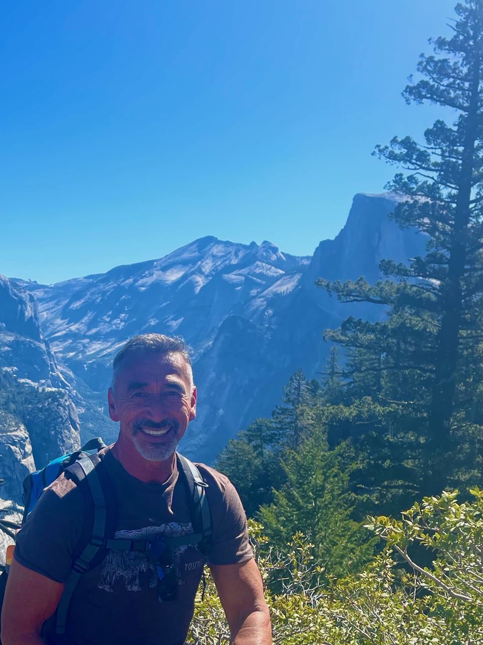
Lance Whitmier
Send an email to if you have questions or concerns:
[email protected]
Once you have signed up, I will share my cell phone so that we can stay in touch in the morning of the hike, in the event you are running late.
If there are any last-minute day-of cancellations, please let me know via text.
We look forward to seeing many old familiar faces and some new.
What to Bring:
You should bring your ten essentials (Click here for the list.), a day pack, water (2 to 3 liters), trekking poles, sunscreen, hat, an trail snacks.
We will take a long break at the top so you may want to bring a small lunch, but we will probably have an optional lunch for those who would like to grab lunch together at the end.
Bring a Hiking Pole!
BRING PLENTY OF WATER!!!!
Carpooling is recommended to help reduce gas cost and parking may be a challenge. There is NO FEE for this trip.