Lets Hike To The
Hollywood Sign!
via Lake Hollywood
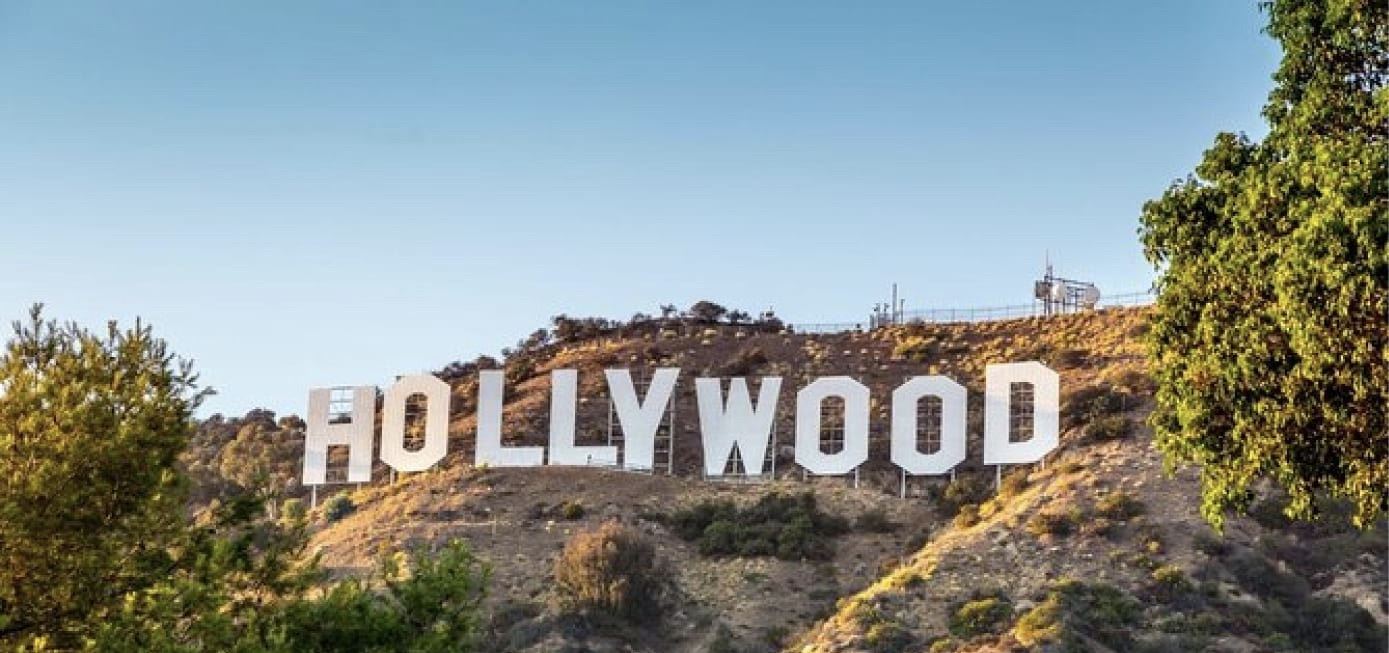
Distance 6.5 miles | Elevation gain 1204 ft
Strenuous hike!
September 24 - Saturday, 8:00 AM
Join us on Saturday, September 24th at 8:00 am for a hike to the historic Hollywood Sign in Griffith Park! The Hollywood Sign, sitting 1,558 feet above sea level, is heavily fenced in and under 24 hour security surveillance. We will not be able to touch the sign, but will see the city of Hollywood and beyond from just behind the infamous nine letters.
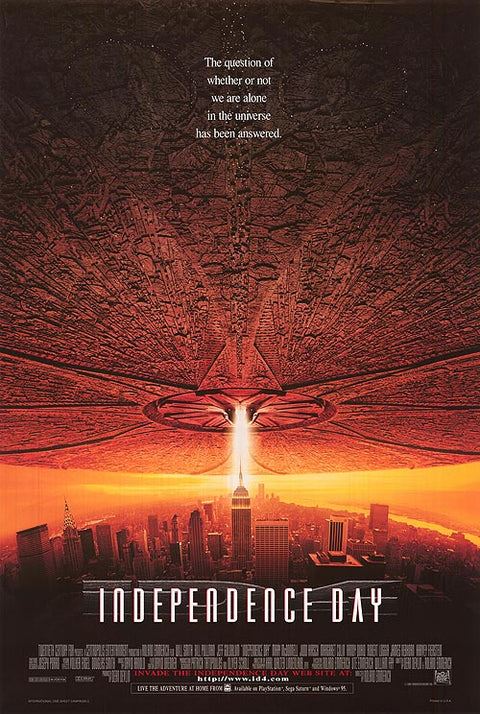
Despite being nearly destroyed twice in real life, the Hollywood Sign has been destroyed to smithereens in many a Hollywood disaster flick! Films featuring the destruction of the Hollywood Sign include:
With over 4,210 acres of terrain, Griffith Park is one of the largest municipal park wilderness areas in the U.S. Situated at the east end of the Santa Monica Mountain range, the Park has an elevation range from 384 to 1,625 feet above sea level.
There are only a few trails that lead to the Hollywood Sign. On this second day of Autumn at 8 a.m., we will start out from south end of Lake Hollywood (aka The Hollywood Reservoir). The Hollywood Sign is fixed atop Mount Lee, in the Beachwood Canyon area of the Santa Monica Mountains (1,558 ft).
We will start this hike outside Griffith Park in a Hollywood Hillside neighborhood. We will NOT power-walk these trails, but instead, take it leisurely with three planned 5-10 minute breaks before reaching the Hollywood Sign where we will have our meal break. Due to crowds, there may not be many places to sit and eat all at once, so we will need to be flexible so as to give some members a chance to have a sitting break during the hike.
We should reach Mt. Lee Summit by 9:40 am. The overall hike should take 4 hours which includes breaks and all the stops for photo ops.
I would rate this as a Strenuous hike for a few reasons.
-
It has a 823-foot elevation gain. A few sections are steep trails and some portions of the trail are narrow.
-
There is not much shade from trees; the hills are mostly natural chaparral-covered terrain.
-
Although much of what we will hike is fire roads all the way up to the sign, it is the other half of the loop that is a challenge. It is on these paths where there are a few situations that may require 3 points of contact for balance.
Where to meet: Below is the road I recommend taking to get to the Hollwood Reservoir: Clicking this link should open a Map to give you directions to this parking area.
When winding through the Hollywood Hills, you should come across a directional sign indicating you are on the right track to the Hollywood Reservoir.

There is a parking lot that can get full. Just know that there is also parking on the side of the road leading up to the lot. Here is a map to the Reservoir Trailhead from The Hollywood Freeway.


Here is a map of the trails we will traverse.
 So, let's get started!
From the get-go, we will start at the east end of the Hollywood Reservoir Dam (751 ft). From the dam we will touch on the main road that encricles the lake called Montlake Drive. Here is where many jog, bike or walk. We will avoid Montlake Drive at our start, and instead take a trail through an open gate just off to the right. This trail through the gate is actually called Mulholland Hwy.
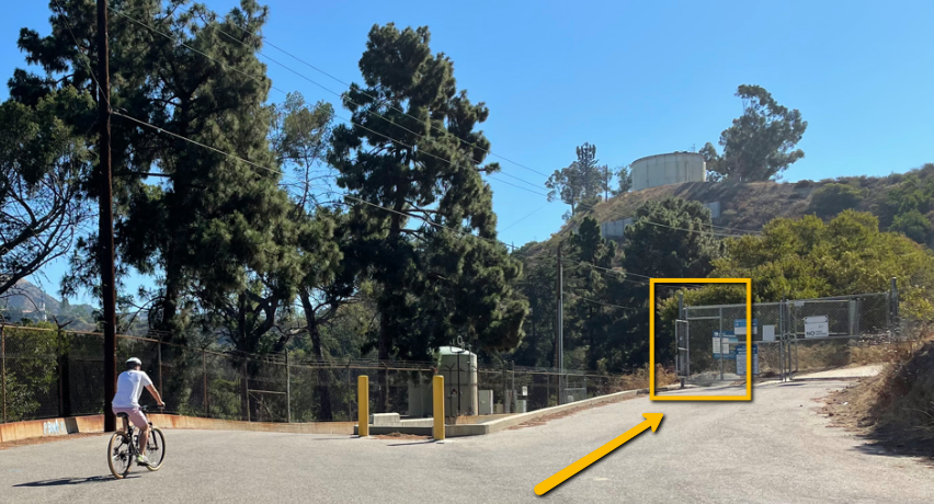
We will take the trail and ascend 200 feet where Mulhulland Hwy becomes paved (951 ft). Here will will take Mulhulland Hwy to Canyon Lake Drive and keep on sidewalks through residential neighborhoods .

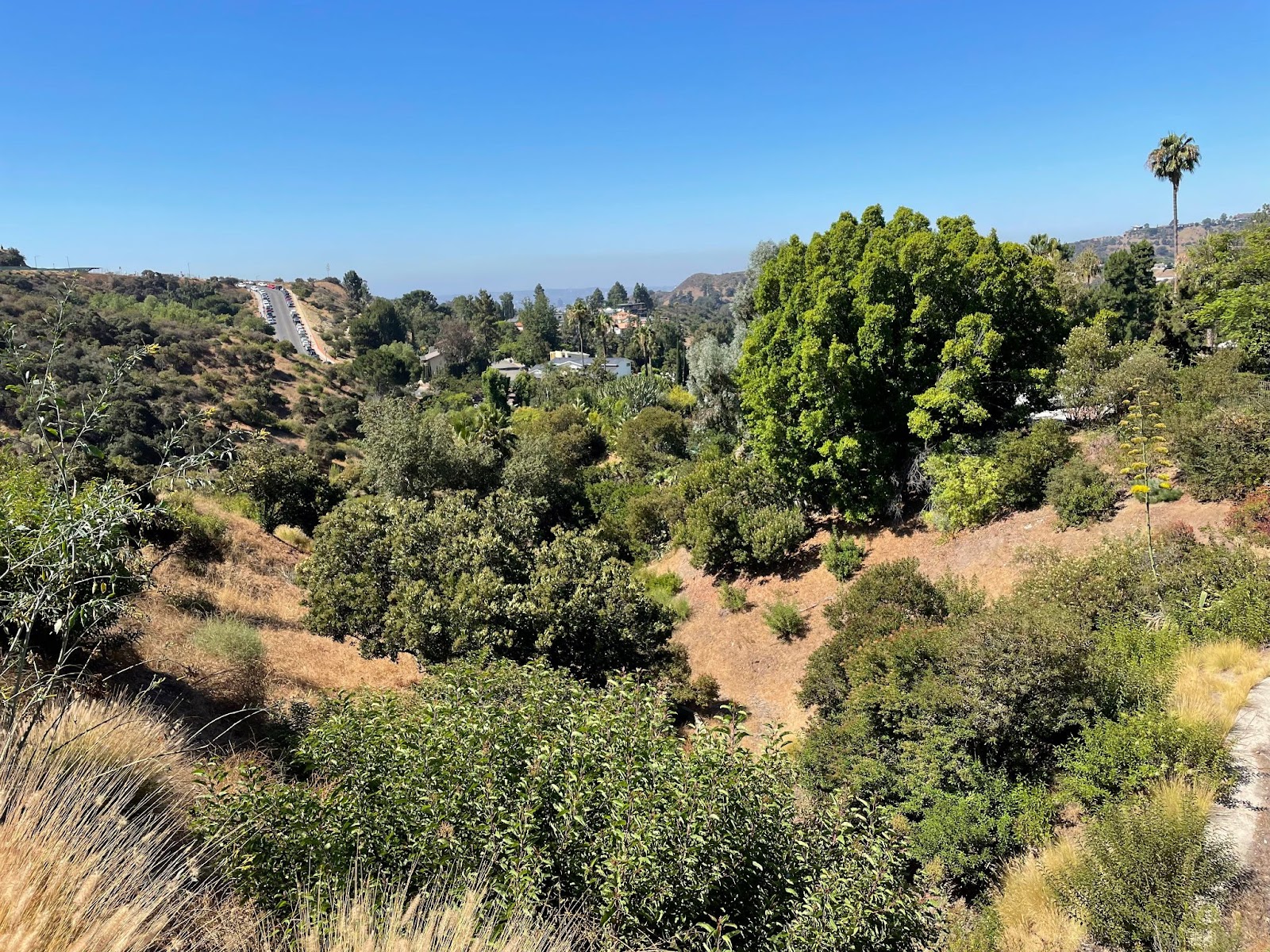

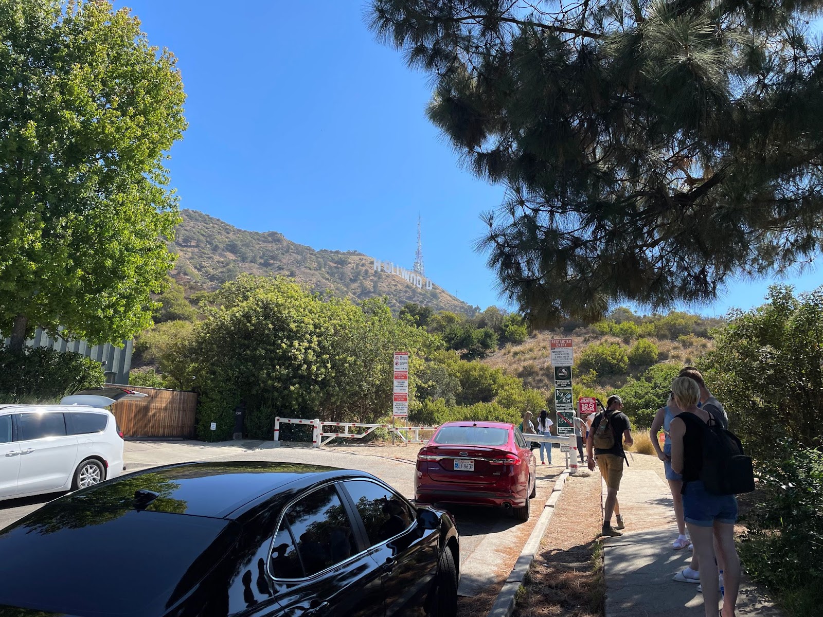
Once we have traversed a few blocks of neighborhood homes, will will get back onto a main fireroad at Innsdale Trailhead (948 ft.)
This Innsdale Trail will skirt the edge of the neighborhood we just left until we meet up again with Mulhulland Hwy that will take us to Mt. Lee Drive (1128 ft). Here, is where we catch the official entrances into Griffith Park.
From here, we will take Mt. Lee Drive all the way to the Hollywood Sign (1558 ft).
On our way, towards the top of Mt Lee Drive at 1427 feet, we will be at the summit of the hill where we can now see over and into The San Fernando Valley. After taking in the views of the various Burbank Studios and Forest Lawn we will head up the last stretch of Mt. Lee Drive to it’s logistical termination where it can service the Radio Towers behind the infamous sign.
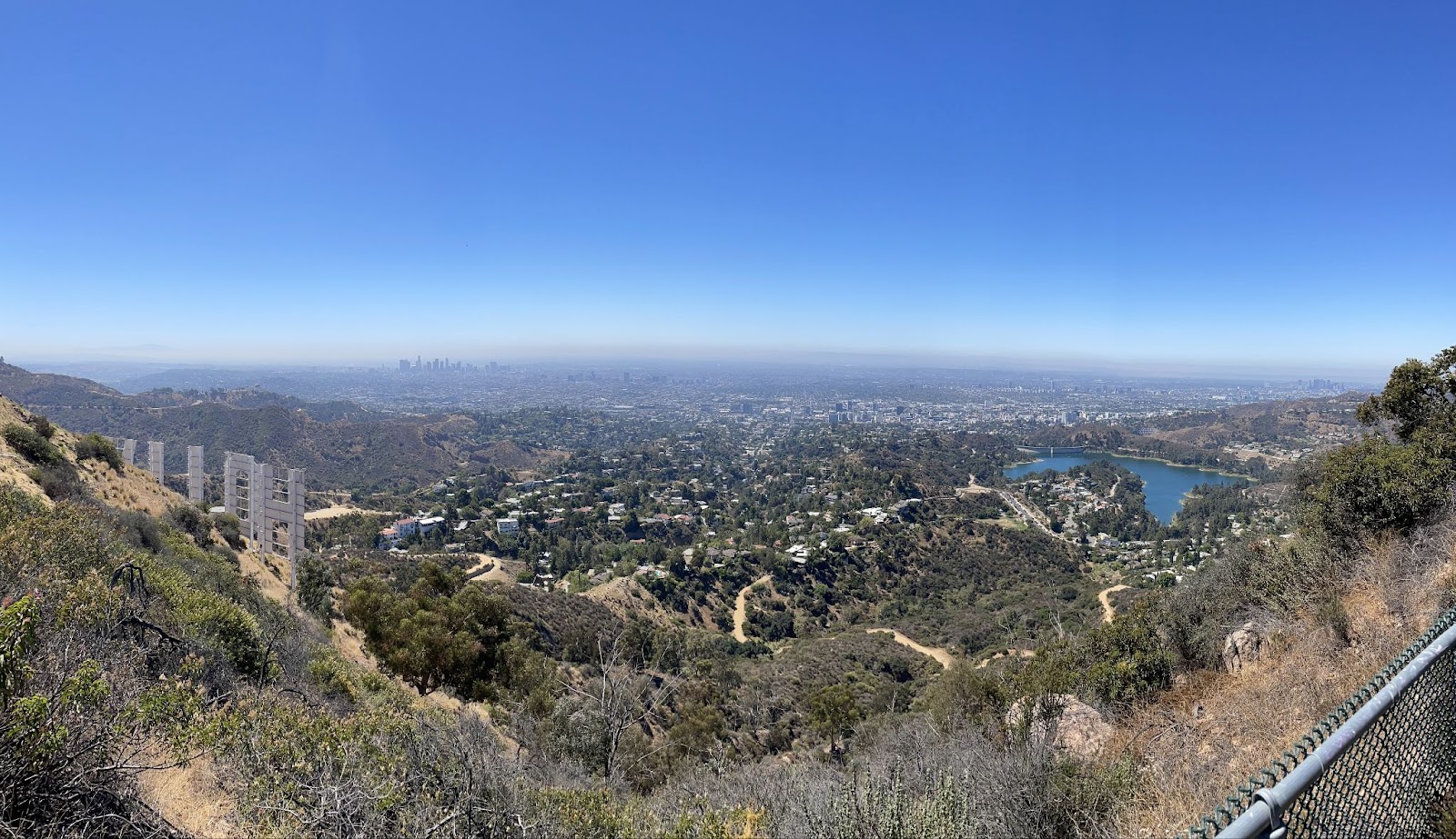
After having our meal, we will break off from Mt.Lee Drive and jump on to Wonder View Trail. This trail will follow the summit heading west to the Wisdom Tree (1620 ft.).. On this stretch we will traverse very narrow trails and reach a peak of 1761 ft..

Below is a shot of the Wisdom Tree.

After our brief break at the Wisdom Tree, we will rapidly descend Wonder View Trail where it meets up with Wonder View Drive (1095 ft). We will take Wonder View Drive to Lake Hollywood Drive to enter Lake Hollywood North Gate (794 ft).
Once we get through the gate, we will round the lake, cross the dam and convene back at the parking lot.
In total we will have traveled 7 miles.
If you have any questions about this hike, please do not hesitate to reach out to me, your trip leader, Robert Sandoval at [email protected].
A Whats App group has been created called OCLB Lake Hollywood Loop. Please feel free to join after you have RSVP'd for this hike. If there are any last-minute day-of cancellations, please let us know through the group app. If you do not have a Whats App account and prefer to communicate via text, please email me with your phone number--if you prefer.
We look forward to seeing many old familiar faces and some new.
Here is an ALL TRAILS map of the 'Lake Hollywood Loop'.
Here, you can view a timelapse video of the path we will be taking via ‘Relive’ (Thanks Bryan).

Summary:
-
Elevation Start (725 ft) Parking lot
-
Rest Stop #1 (941 ft) 3 min. break
-
Rest Stop #2 (1099 ft) 3 min. break
-
Rest Stop #3 (1427 ft) 3 min break
-
Destination Stop #4 (1624 ft) Hollywood Sign
-
Rest Stop #5 (1568 ft) Wisdom Tree Break
-
Rest Stop #6 (880 ft) Lake Hollywood Drive
-
Back to Start (718 ft) Lake Hollywood Dam
Many thanks goes to Bryan Cooper who blazed this trail for years before me.
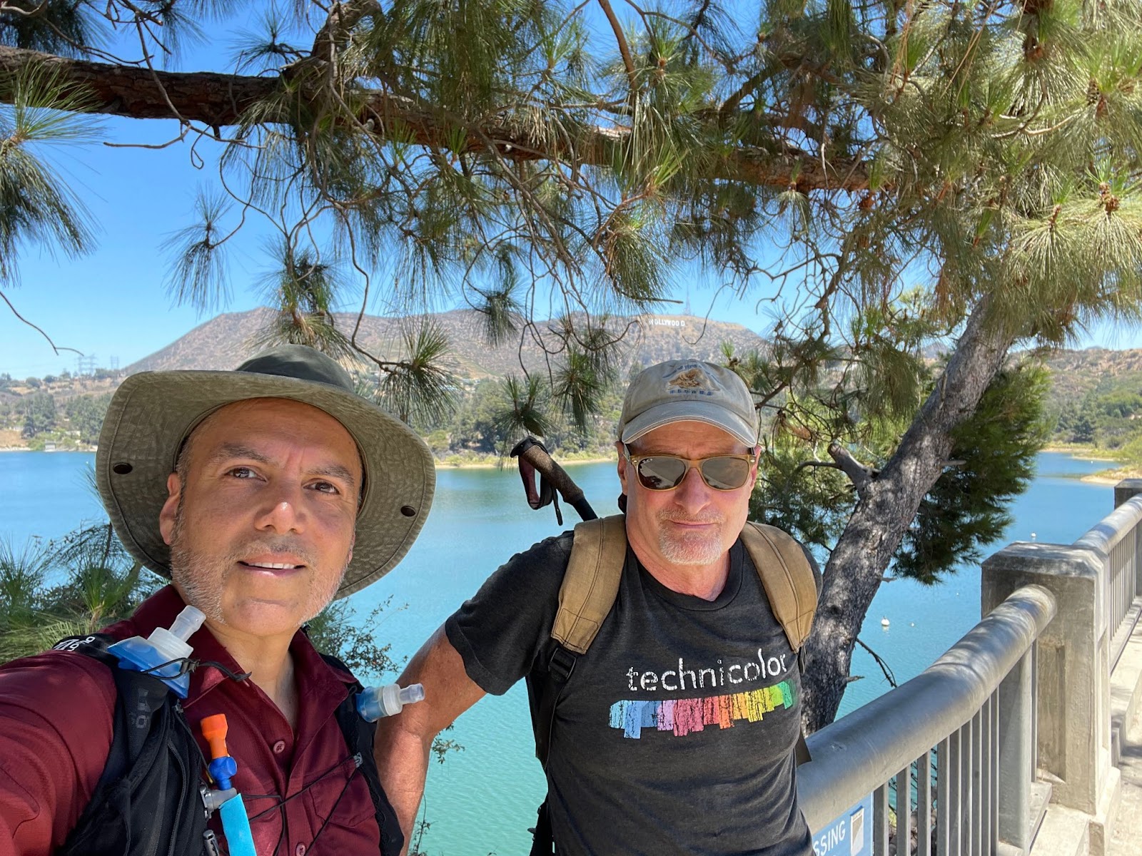
Robert Sandoval will be leading this hike.
Robert's email: [email protected]
Robert and Bryan pictured above.
What to Bring:
You should bring your ten essentials (Click here for the list.), a day pack, water (2 to 3 liters), trekking poles, sunscreen, hat, trail snacks, lunch, and plan on wearing hiking boots or shoes.
BRING PLENTY OF WATER!!!!
Carpooling is recommended to help reduce gas cost and parking may be a challenge. There is NO FEE for this trip.
Special COVID Related Requirements:
Participants must comply with the following requirements as a condition of registering for this event:
- I will follow Federal, State and local COVID guidelines as well as the directions of the leader.
- I will not attend if feeling ill or have any symptoms of COVID.
-
I will contact trip leader if I test positive for COVID within 14 days of the event
‘I Accept’ and will comply with these requirements as a condition of participating in this event.
NOTE: Due to COVID restrictions, please DO NOT show up for this hike unless you have completed a registration process here and have answered the required COVID questions. Also, do not bring any unregistered guests on this hike.